Managing organization : Department Committee of Ardèche Speleology
Presentation:
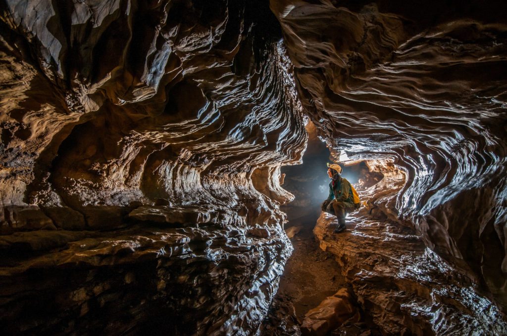
A karst under cover
The cave of Pézenas located on the foothills of the Cévennes, is part of a vast speleological network (of about 15 km) developing in a limestone-sandstone band bounded in the north by the Roubreau stream and the La Beaume river in the south. Between the Cévennes granites in the west and the Jurassic marls in the east, the Tour de Brison (657m) offers one of the most beautiful views of the whole of southern Ardèche.
Scientific or educational interests :
Hydrology : Several streams intersect this limestone-sandstone band to form steep-sided valleys, which in contact with limestones are partially lost underground. All of the groundwater is organized into several drains that converge south towards La Beaume and the resurgence of Chamandre.
Geomorphology : Characteristic of a “covered karst”, the Pezenas cave also offers a particularity with the presence of aragonite concretions and gypsum crystallizations.
Thematic keywords : biology, cartography, geography, sedimentary geology, geomorphology, hydrogeology, hydrology, karstology, landscapes
Keywords typology of sites : natural non-instrumented cave
Access modalities :
Cavities which are not fitted out for tourism are classified in a specific environment by the Sports Code (R212-7).
Therefore, group supervision outside the touristic circuits of furnished cavities requires specific skills, certified by a diploma (professional issued by the State or federal issued by the French Federation of Speleology).
Possible support :
Technical support during your outings underground by the Departmental Speleology Committee allows you to have :
- skills to ensure group security,
- standard and maintained speleology equipment (helmet with electric lighting, coveralls, harness, etc.),
- scientific equipment according to your needs (topographic survey, conductivity meter, multi-gas detector, temperature and pressure recording probes, etc.),
- documentation on the sector or the cavity (topography, bibliography, possibly a set of monitoring data)
- in-depth knowledge of the places in order to optimally implement your project